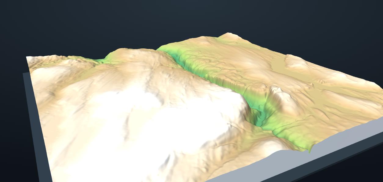
Draw an area on the map to see it in 3D.
Rotate
Move
Size
Mark an area on the map and get a detailed, printer-sized 3D model (STL) of the real terrain – a mountain, a fjord, a whole valley. Made for Bambu Lab, Prusa, Creality and more.
From a place on the map to a print on your build plate in four steps – no 3D software needed.
Choose Bambu Lab A1 mini, X1, H2D, Prusa, Creality … or a custom plate. The model is sized to fit your build volume.
Drag a rectangle on the map, rotate it along a valley and fine-tune. Need bigger? Spread it over several plates.
Spin the model, adjust height exaggeration and base thickness, and choose detail from Draft to Ultra.
Get the STL (or a zip of plates) and open it in your slicer. Every model is saved in your account for later.
Real terrain, real data. Click "Make this" to open any of them in the editor and print your own.
Everything you need to go from map to print – and nothing in the way.
Everything you save or download lands here. Re-open a model in the editor, rename it, or download the STL again whenever you like.
Bambu Lab A1 mini to H2D, Prusa, Creality, Voron or a custom plate. Your model is scaled to fit the build volume exactly.
Drag a rectangle, rotate it to follow a valley, and fine-tune position and size. Need bigger? Split it over several plates.
Spin the model in the 3D preview, adjust height exaggeration and base thickness until it looks right.
Choose Draft to Ultra detail and download the STL (or a zip of plates). It's saved in My models for later.
Pick your printer by name – the model is sized to the plate automatically.
Rotate the selection to any angle and nudge it with precise controls.
Large areas are split over plates with matching heights so the pieces join seamlessly.
Ultra detail gives roughly one data point every 0.3 mm on a 256 mm plate.
Norway uses the national 1 m terrain model from Kartverket. Elsewhere we use global elevation data (10–30 m).
Closed solids with flat bases, ready for any slicer without repair.
Norway: Kartverket national terrain model (DTM, CC BY 4.0). Rest of the world: Terrain Tiles on AWS, composed from SRTM, national and other open datasets. Base maps © OpenStreetMap contributors, OpenTopoMap, Esri and Kartverket.
Topostl is free while we're in launch. All you need is an account so your models are saved.
No credit card. No limits on downloads during the launch period.
Later we'll introduce simple pay-as-you-go pricing. We'll announce it well in advance, and anything you've already saved remains available.
Quick answers.
Any FDM or resin printer – pick a preset (Bambu Lab A1 mini, A1, P1S, X1C, P2S, H2S, H2D, H2C, Prusa MK4/Core One/XL, Creality Ender-3/K1/K1 Max, Voron) or enter a custom build volume. The model is scaled to fit.
Draft ≈ 56k triangles, Standard ≈ 170k, High ≈ 500k and Ultra ≈ 1.1 M per plate. On a 256 mm plate Ultra puts a data point about every 0.3 mm. Real detail is limited by the source data: 1 m in Norway, 10–30 m elsewhere.
Increase "Plates across" and "Plates down". The area is split into tiles with identical scale and base level, so the pieces fit together. You get a zip with one STL per plate.
It's shown in the summary (for example 1:35,000). Model size is chosen so the area fills your plate; use height exaggeration to bring out flat landscapes.
Elevation data is open (Kartverket CC BY 4.0, Terrain Tiles open datasets). Please credit the data sources if you publish or sell prints. See "How it works".
We store the settings and a preview of each model in your account; the STL is regenerated whenever you download it, so it's always at full quality.
Not yet – models show bare terrain (a digital terrain model). Buildings are on our wish list.
Try a smaller area or lower detail first. Very large areas and Ultra detail take longer to generate.